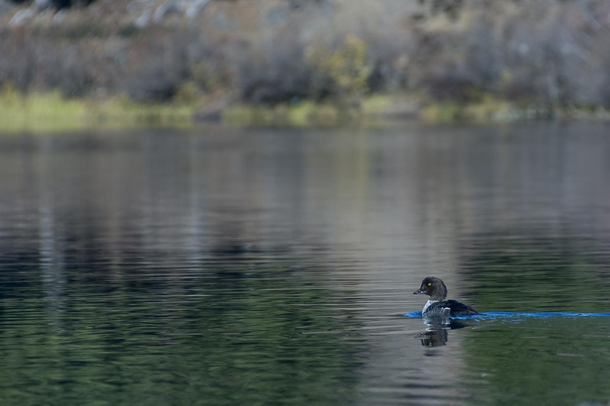
Clear Lake
Willamette National Forest
Difficulty: Easy - Moderate
Distance: 5.5 mile loop
Elevation Gain: 200 feet
Best time to go: May-October
About this Hike
This 5.5 mile loop around Clear Lake brings hiker through huge springs, lava crossings, and a beautiful old-growth forest of Douglas fir and mountain hemlock. Although much of the trail is set back further from the lake itself, you can still catch glimpses of the clear water, Mt. Washington and the tips of the Three Sisters. Although the first mile of the trail can be heavily used, it usually quiets down for the remaining 4.5 miles after it crosses a footbridge over the lake's outlet (the beginning of the Mckenzie River). 200 yards past the footbridge, turn left onto the Mckenzie River Trail for 0.8 miles to a boat ramp and picnic area. From here, you'll continue for 1.4 miles to Great Spring and detour around a rushing river. After another 0.5 miles you'll cross another footbridge over Fish Lake Creek and turn left at the junction. The trail will then take you over a peninsula, around a narrow section of the lake, over Ikenick Creek, and end up back at Clear Lake.
This can be an easy stroll if you don't do the whole loop.
About this Area
Clear Lake was created when lava flows from the High Cascades damned the Mckenzie River, approximately 3,000 years ago. The lake's cold, clear water allows you to see the perfectly preserved tree snags under its 100-foot-deep waters. For the best view of this 3,000 year-old preserved forest deep below the lake's surface, you can rent a row boat from the small resort.
Getting There
1. Begin on Highway 126 east of Mckenzie Bridge for 20 miles.
2. Follow signs for "Clear Lake Resort and Picnic Area" between mile marker 3 and 4.
3. After turning off of the highway, take a small paved side road for 0.4 miles downhill until reaching the picnic area.
 '
'
